SB Friedman provided qualitative research, recommendations and mapping services to Enterprise Community Partners in support of Elevated Chicago, a multi-partner community planning effort to promote equity, favorable health outcomes and climate resilience around seven CTA stations located in the City’s west, south and northwest sides.
Elevated Chicago is aiming to enact interventions in target areas around seven CTA stations in the City of Chicago. In order to promote the preservation of affordable housing and community control, Enterprise sought recommendations for strategies to leverage underutilized land, as well as spatial analyses to determine suitability for district stormwater improvements, community solar installations, affordable housing and community space in these target areas.
Our services included:
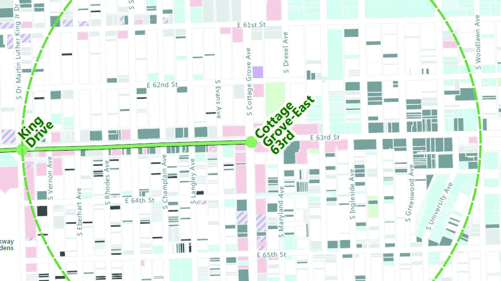
- Analyzing and developing a variety of parcel-based GIS datasets to determine existing community assets, land uses, sites susceptible to change, public ownership, geographically-based public financing sources and suitability of sites for green infrastructure, affordable housing and other development;
- Preparing a series of station-area and corridor maps documenting findings;
- Conducting case study research into strategies for community control and affordability preservation;
- Conducting research on local land acquisition, affordable housing, and funding programs currently available within target areas; and
- Identifying implementation steps for feasible strategies.
Results: Along with Enterprise and CNT, we presented the results of our research to Elevated Chicago partner organizations. We discussed our findings and recommendations regarding ecodistricts, affordability preservation and community control mechanisms. Learn more about this effort at: http://www.elevatedchicago.org/