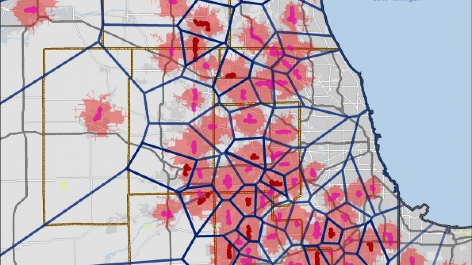
SB Friedman analyzed the spatial patterns of retail agglomerations in the Chicago region to assess how they influence shopping patterns, which in turn affect transportation improvements and related costs.
The Chicago Metropolitan Agency for Planning (CMAP) wanted to understand how large-scale retail development impacts transportation utilization and costs, as well as how these impacts are distributed across multiple jurisdictions. This retail typology has experienced significant growth in the past two decades, with market areas that span multiple jurisdictions and significant traffic impacts that influence public roadway costs. We assessed the roadway costs associated with these retail developments comprising power, community and neighborhood centers that typically cluster along arterial corridors- otherwise known as “retail agglomerations.”
In assisting CMAP with this project, we estimated retail market areas for 10-15 retail agglomerations, identified five case studies for further analysis, developed methodology to collect and analyze cost-side impacts, and conducted interviews with nearly 30 jurisdictions to obtain roadway cost data related to servicing retail agglomerations.
Results: We submitted GIS shapefiles and tables/spreadsheets of the data compiled for each case study by jurisdiction to CMAP. Our analysis will help inform CMAP’s regional planning policies, which encourage development patterns that provide long-term fiscal benefits for both the local governments and the region as a whole.